Appendix B
Chicago’s Demographic Maps for the Chinese and Mexican Neighborhoods
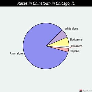
Chinese Neighborhood

Cermak Road including the Chinatown Gate over Wentworth Avenue
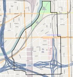
Map of Chinatown
Community areas: Amour Square
First Settled: 1912
Population Estimation (2010 Census): 16,325
Zip Code: 60616
Maps and Graphs were retrieved from Wikimedia Foundation and Google Images on July 25, 2015: https://en.wikipedia.org/wiki/Chinatown,_Chicago
Mexican Neighborhood
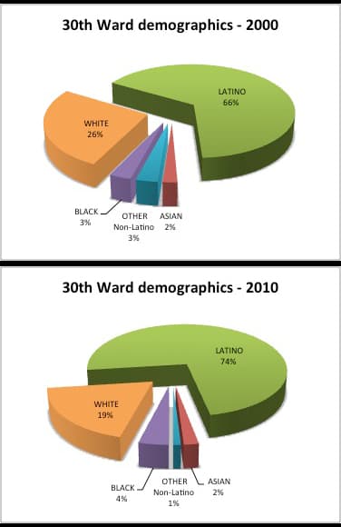
Community Area 30 - South Lawndale

26th Street in Little Village
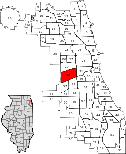
Location within the city of Chicago
Neighborhoods: Little Village, Marshall Square, South Lawndale
First Settled: Mid to late 1910’s
Population Estimation (2010 Census): 79,288
Zip Codes: parts of 60608 and 60623
Maps and Graphs were retrieved from Wikimedia Foundation and Google Images on July 25, 2015: https://en.wikipedia.org/wiki/Lower_West_Side,_Chicago
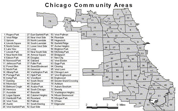
Map was retrieved on July 25, 2015 from Google Images: Chicago Community Areas Map.
Be the first to comment on this unit!
Comments: